Posts for this topic...
-
Post your comments.... Sign In to Post
-
plotaroute admin Wednesday 21 Dec 2022 11:26:00
We are very pleased to announce a major upgrade of the data we use to calculate elevation profiles and ascent statistics. This has been made possible following our recent server upgrade, which has enabled us to implement data at a much higher resolution for the whole of North America, Western Europe and New Zealand. We have also implemented enhanced data for many other parts of the World. The new data will enable us to provide more accurate elevation profiles and ascent calculations.
To maintain consistency and comparability, we will be recalculating the ascent statistics for all existing routes, so you may notice some of these figures changing. This is a big exercise, as we have more than 1.5 million routes on our database, so we anticipate that this will take several months, but priority will be given to routes belonging to Premium members and those that are most popular. Until this has completed there may be some inconsistencies between ascent figures shown in different sections of the website for older routes, but any new routes you create will have ascent statistics based on the new elevation data.
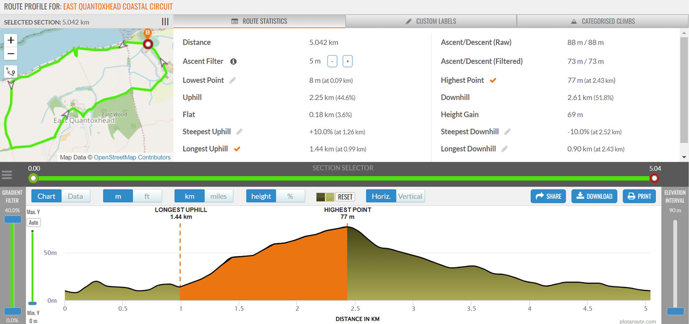
Alongside the data upgrade, we have also implemented some enhancements to our Route Profile tool. This now includes an Ascent Filter, which gives you the option of ignoring small changes in elevation when calculating the total ascent over a route, and also a Gradient Filter, which you can use to smooth gradients that fall outside of a set range. These types of filters are sometimes used by other applications and GPS devices. While we always advise against comparing ascent calculations from different sources, as they are all calculated differently, you can use these filters to examine how different levels of filtering can affect ascent calculations.
-
Mark Worthington Thursday 22 Dec 2022 16:16:59
Another great upgrade, thanks!
-
eky moz Tuesday 27 Dec 2022 14:17:45
-
Paul Toigo Tuesday 27 Dec 2022 20:04:13
Thank you! On my sample climb of the Poudre Canyon in Colorado USA, the model is much better. While it still has sawteeth that don't exist, the timer model no longer predicts "time travel". More testing soon.
-
Antonio Ratao Thursday 29 Dec 2022 15:05:56
Now, plotaroute doesn't show elevation profile, and even does not inform total ascend
-
Paul Toigo Thursday 29 Dec 2022 16:16:00
@Antonio Ratao
Click on "Hills"
[IMAGE REMOVED DUE TO SIZE]
Voila!
[IMAGE REMOVED DUE TO SIZE]
-
plotaroute admin Thursday 29 Dec 2022 16:42:54
Hi Antonio - we're investigating, it looks like there may be a data void in your area with the new data. If so, we'll revert back to the old data for that area.
-
Lucas Sichardt Friday 30 Dec 2022 07:44:43
Hello and thanks a lot - for Plotaroute and for this update as well!
For sure this is an enhancement for many routes. The more accurate the elevation data is, the less little unaccurancy in the GPS data of routes and maps can cause wierd effects. Especially in areas with a steep and changing landscape this makes a huge difference - when tracks are situated in the middle of a steep dliff along a valley for instance.
So, I'm really curious about the effect on some of my routes...There's still one question I have when thinking about the things you wrote here:
Some time ago we were talking about elevation profiles as I suggested using (barometric) elevation data of uploaded GPS trackes when the GPS device provides them. This could correct misleading elevation profiles which are produced by using global elevation data instead of a real measurement for example qhen the route uses a high bridge over a deep valley. Also tunnels are a real problem (perhaps we should really have the possibility to override the elevation profile in user defined bridge or tunnel segments and replace them by a linear expolation). But this is not the right place to discuss this.
At that time you told me that Plotaroute calculates elevation profiles on the way and that all routes would be enhanced at one time when new global elevation data is available. Now you tell that there's the need to calculate data for all existing routes again to take advantage of the elevation data update.
So I guess there's a difference between the elevation profile shown when using the elevation profile tool or opening the route's details page on one hand and the statistics in tables like "My Routes" or when using the search on the other hand. IS this right?Best regards,
Lucas
-
plotaroute admin Friday 30 Dec 2022 09:34:08
Hi Lucas - thanks for your feedback. The profile charts are generated in realtime but the elevation statistics on the View Route and My Routes pages (Ascent, Descent, etc.) are generated when the route is saved and are then saved with the route, so hence the need to update these to maintain consistency.
-
Gary Dick Wednesday 18 Jan 2023 02:13:06
We seem to have lost the elevation profiles for most but not all of my existing routes (50+) as well as total ascent details. These are primarily routes in southern North Island, New Zealand. Have tried remapping some of those routes but still no joy!
This loss of elevation information appears to significantly affect the estimated time figure to complete the route due to no adjustment being made for hills. With some of our forest hikes this poses a safety issue due to hikes taking much longer than the current Plotaroute indicated time.
Can you restore the old elevation data please until your upgrade can be successfully implemented?
Thanks
Gary D.
