How To Correct Map Errors
ADVERTISEMENT
More How-To Guides
- How to estimate the time to complete a route
- How to rename a route
- How to change your email address and password
- How to download a route to a Wahoo ELEMNT
- How to bookmark your favourite places
- How to identify the biggest hill climbs on a route
- How to generate turn by turn directions for imported routes
- How to show two or more routes on the same map
- How to navigate a route using the plotaroute app
- How to import a route mapped elsewhere
Watch Our Video Tutorials
VIEW TUTORIALS
Join In Our Forums
VIEW FORUMS
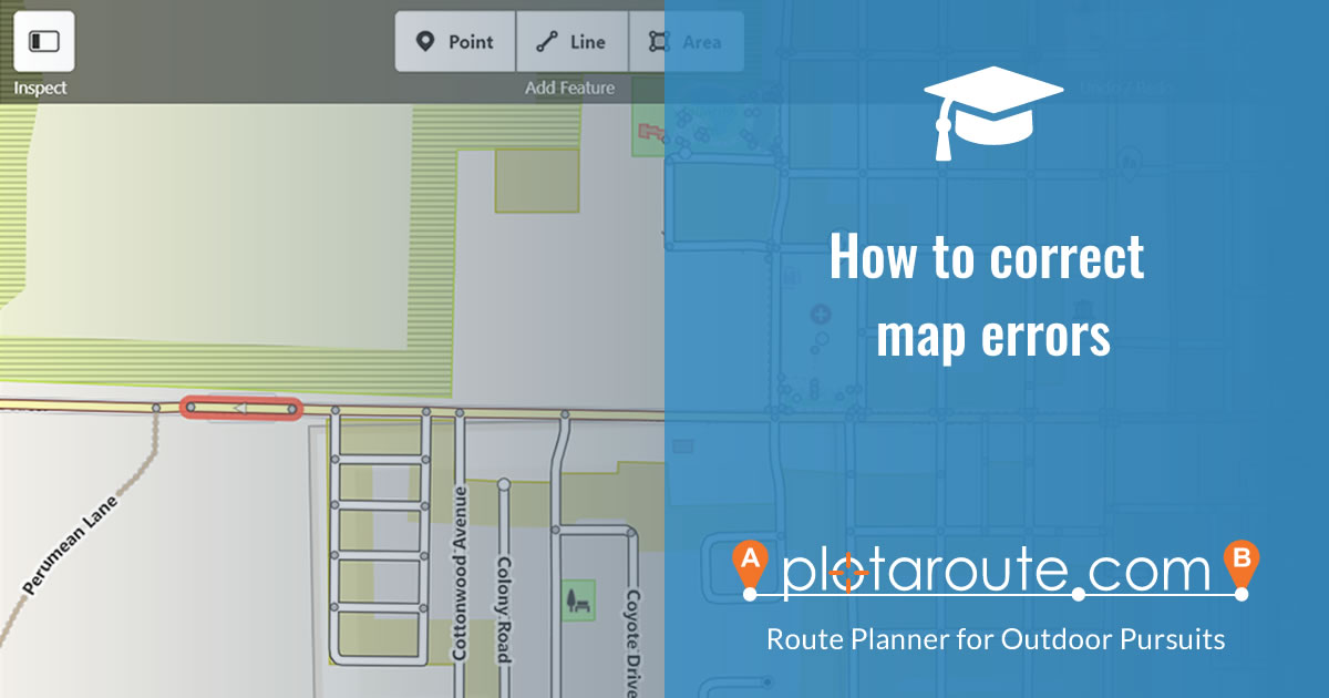
If you spot a mistake on one of the maps used by plotaroute.com and would like to help improve the maps, this guide provides advice on how to do this.
OPENSTREETMAP BASED MAPS
Most of our maps are based on OpenStreetMap data. OpenStreetMap is a community project that relies on the general public to contribute to improving the maps using local knowledge. There are over 6 million contributors worldwide. You can easily get involved by creating a free account with OpenStreetMap, which will then allow you to make changes directly to the maps yourself. Changes you make to map features will normally flow through to plotaroute.com within a few days. Routing related updates (such as changes to road access permissions), will take around 4-5 weeks, as our routing engine is updated less frequently.
To get started:
- Sign up for a free OpenStreetMap account at https://www.openstreetmap.org/
- Log in to OpenStreetMap using the account you created.
- Use the Search box to locate the place that you want to edit.
- Click the Edit button to launch the map editor.

- To change the attributes of an existing road or path segment, click on it to select it. It will be highlighted with a flashing red surround to show that it has been selected.
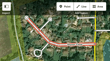
- You can then edit any of the attributes in the left panel and also reposition the selected road or path segment by dragging the points on the vertices.

- If you find that you can't Auto-Plot on a selected road or path by a particular Auto-Plot mode (On Foot, By Bike or By Road), check the "Allowed Access" tags to make sure that access is permitted for the selected mode.

- If you want to add a missing road or path to the map, you can do this by using the Line tool to draw it on the map. You can then specify its attributes as above. You can also upload traces from GPS devices if you like - there is a link to find out more about this in the OpenStreetMap editor.

- Repeat the process for any other changes you want to make and then click the SAVE button to review your changes before submitting them.

- Enter a short description of the changes you made. If you're unsure about the changes and would like someone to review them you can select this option.

- Click the "Upload" button to submit your changes
If you would like to learn more, there are various tutorials and lots of other helpful informarion about contributing to OpenStreetMap maps on the OpenStreetMap Wiki.
PLEASE NOTE: As map changes require local knowledge, we are unable to make map corrections on your behalf, as we are unable to verify the accuracy and validity of any proposed changes.
DESKTOP TABLET MOBILE
